
CAPABILITIES
Section 1: One platform, multiple capabilities
01
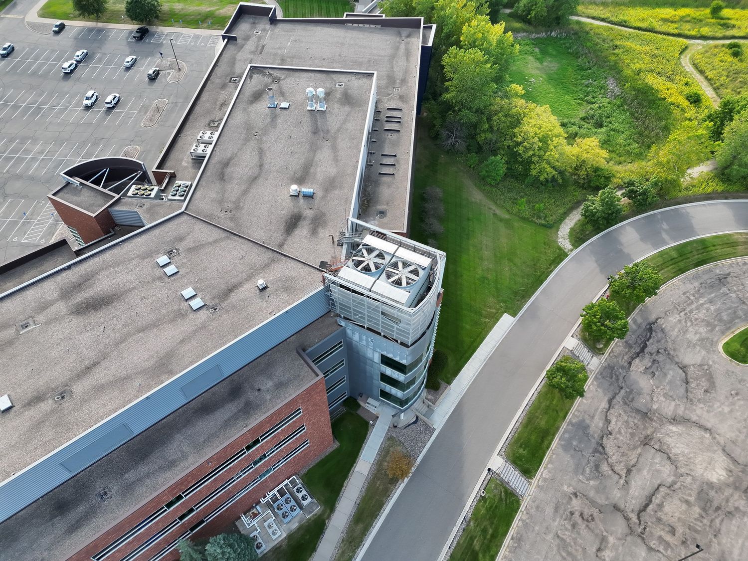
HIGH-RESOLUTION AERIAL IMAGING
Wide, medium telephoto and telephoto perspectives capture both complete site context and isolated details. This supports exterior documentation, roof overviews, hard-to-reach areas, marketing and project records.
02
THERMAL SCREENING
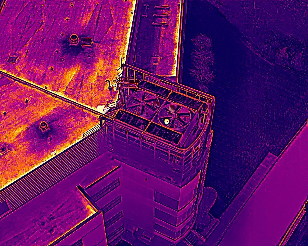
Radiometric thermal imagery records surface-temperature patterns that may reveal areas requiring closer review. Visible and thermal images can be paired to make location and context easier to understand.
Thermal results depend on weather, loading conditions, materials, angle, distance and timing. Any suspected condition should be verified by the appropriate qualified professional.
03
DETAIL AND ZOOM DOCUMENTATION
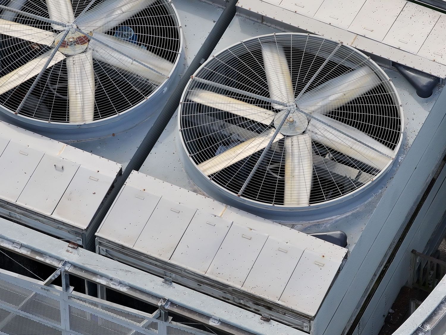
Telephoto imaging can document elevated or restricted areas while reducing unnecessary close access. It is useful for façades, roof components, rooftop equipment and other details that benefit from a closer visual record.
04
CONSTRUCTION AND PROGRESS CAPTURE
Repeatable photography and video create a clear record of work over time. Scheduled visits can support stakeholder updates, milestone documentation, remote review and project marketing.
05
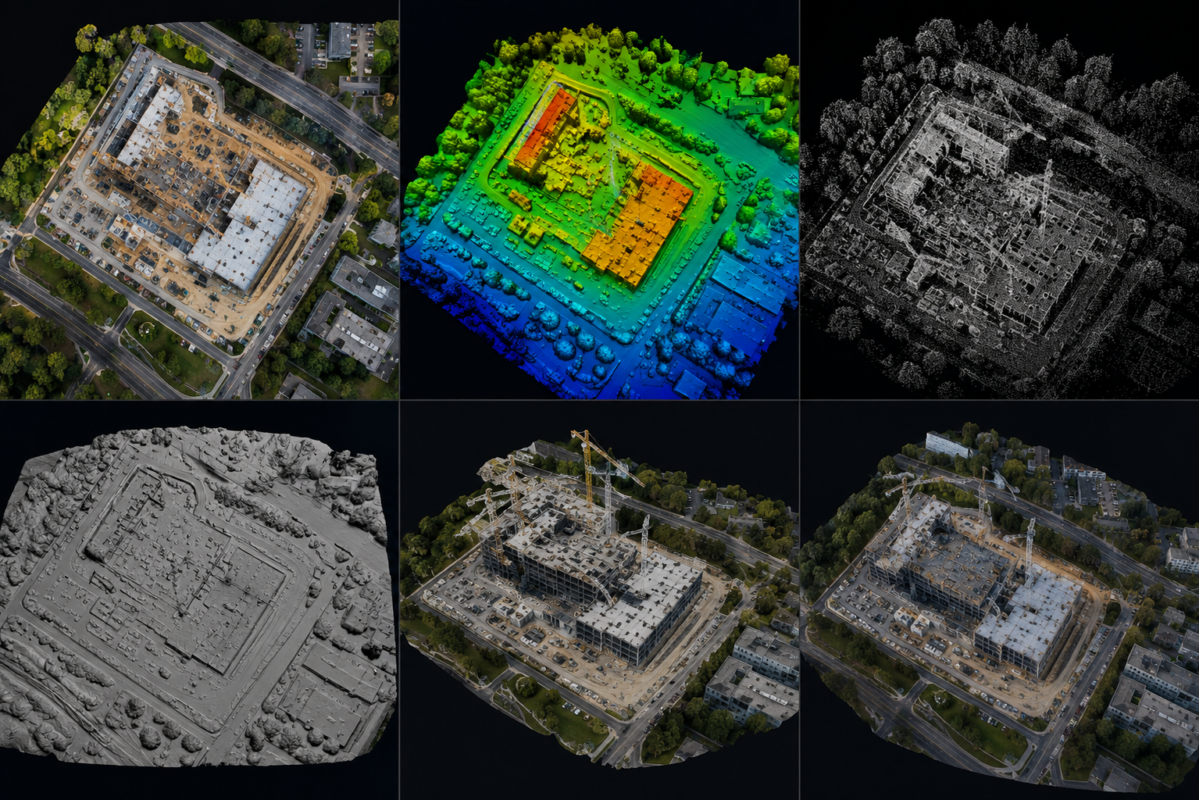
VISUAL MAPPING AND 3D CONTEXT
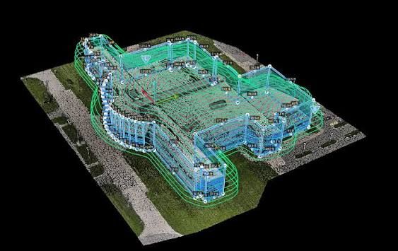
Planned image collection can support visual site maps, orthomosaic-style outputs and three-dimensional context models when the project, site and conditions are appropriate.
These products are intended for visualization and documentation unless a separately defined professional survey workflow is provided. They are not legal boundary surveys.
06
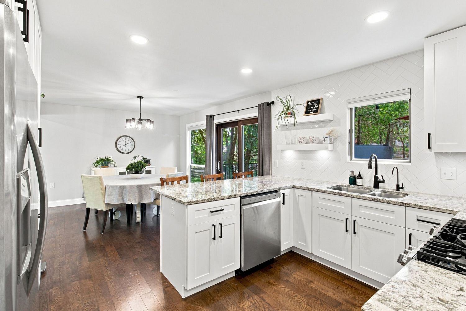
REAL ESTATE MEDIA
Professional photography, aerial imagery, cinematic video and immersive property media present residential and commercial spaces with clarity and impact.
Section 2: From capture to useful deliverables
01
DELIVERABLES BUILT AROUND THE DECISION
The right deliverable depends on what happens after the flight. Smithberg can organize captured information into practical formats for owners, managers, contractors and project teams.
02
ORGANIZED IMAGE SET
High-resolution visible or thermal files sorted by property, elevation, area or capture sequence.
03
ANNOTATED OBSERVATION REPORT
A concise PDF with property context, selected images, marked areas of interest, capture conditions and clearly stated limitations.
04
VISIBLE AND THERMAL COMPARISON
Paired imagery that connects a temperature pattern to its visible location and surrounding conditions.
05
PROGRESS ARCHIVE
Consistent views organized by visit date to make change easier to review and communicate.
06
SITE OVERVIEW
Wide-area visual context showing structures, access, surrounding features and project relationships.
07
EDITED MEDIA
Client-ready photography, video, vertical content or project recaps prepared for presentations, websites and social channels.
Section 3: Technology
VISIBLE. THERMAL. PRECISE.
DJI MATRice 4t
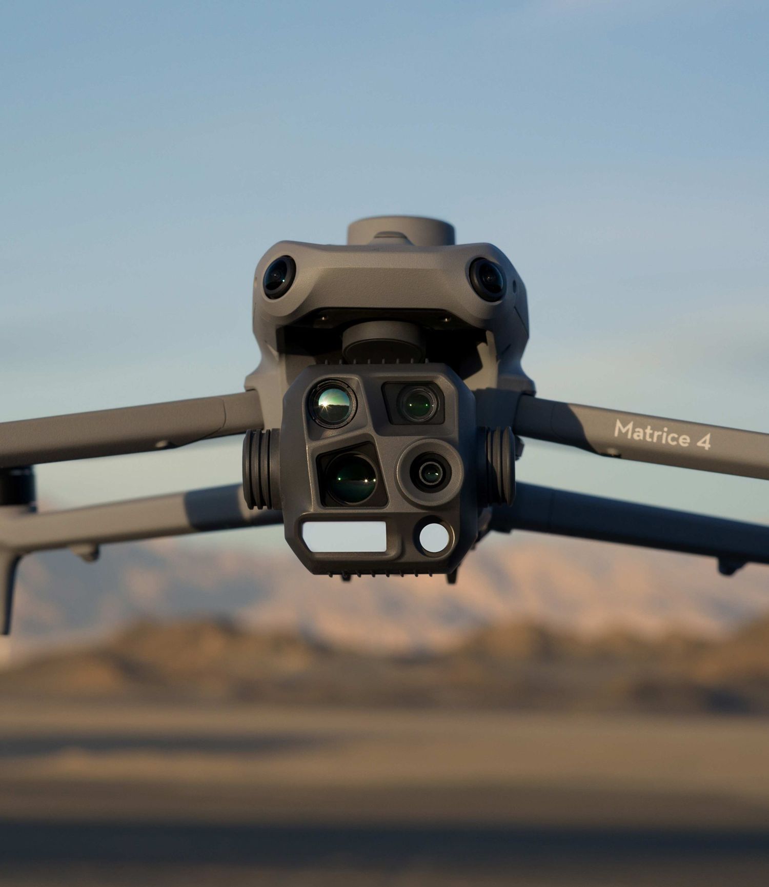
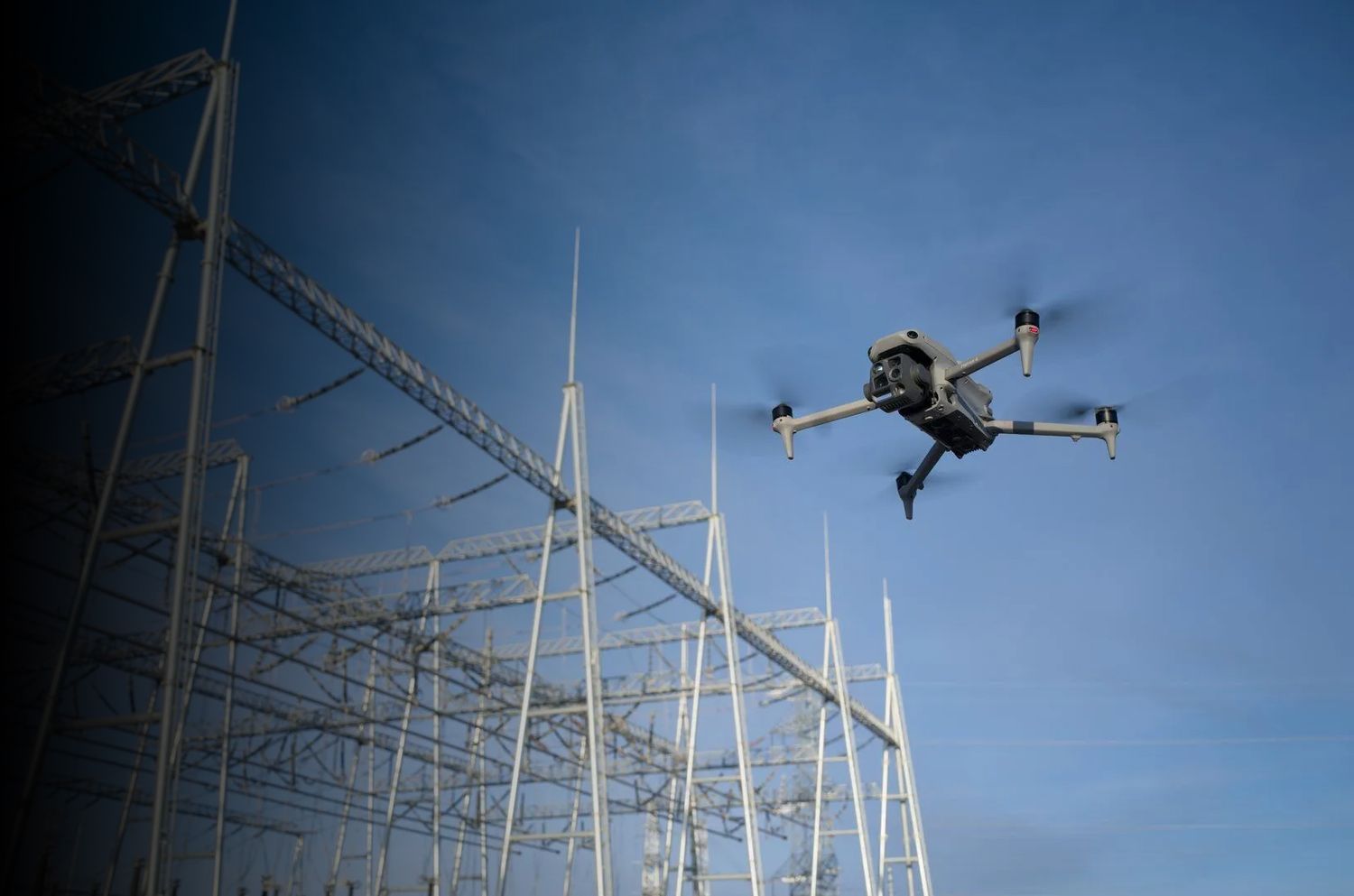
Smithberg Media operates a multi-sensor DJI Matrice 4T enterprise platform with 48-megapixel wide, medium telephoto and telephoto cameras, plus 640 by 512 radiometric thermal imaging. The platform supports close visual context, detailed observation, temperature measurement and consistent aerial documentation from a single mission.
Technology expands what can be captured. Careful planning determines whether that information is useful.
Section 4: What thermal imagery means
THERMAL IS A SCREENING TOOL, NOT A VERDICT.
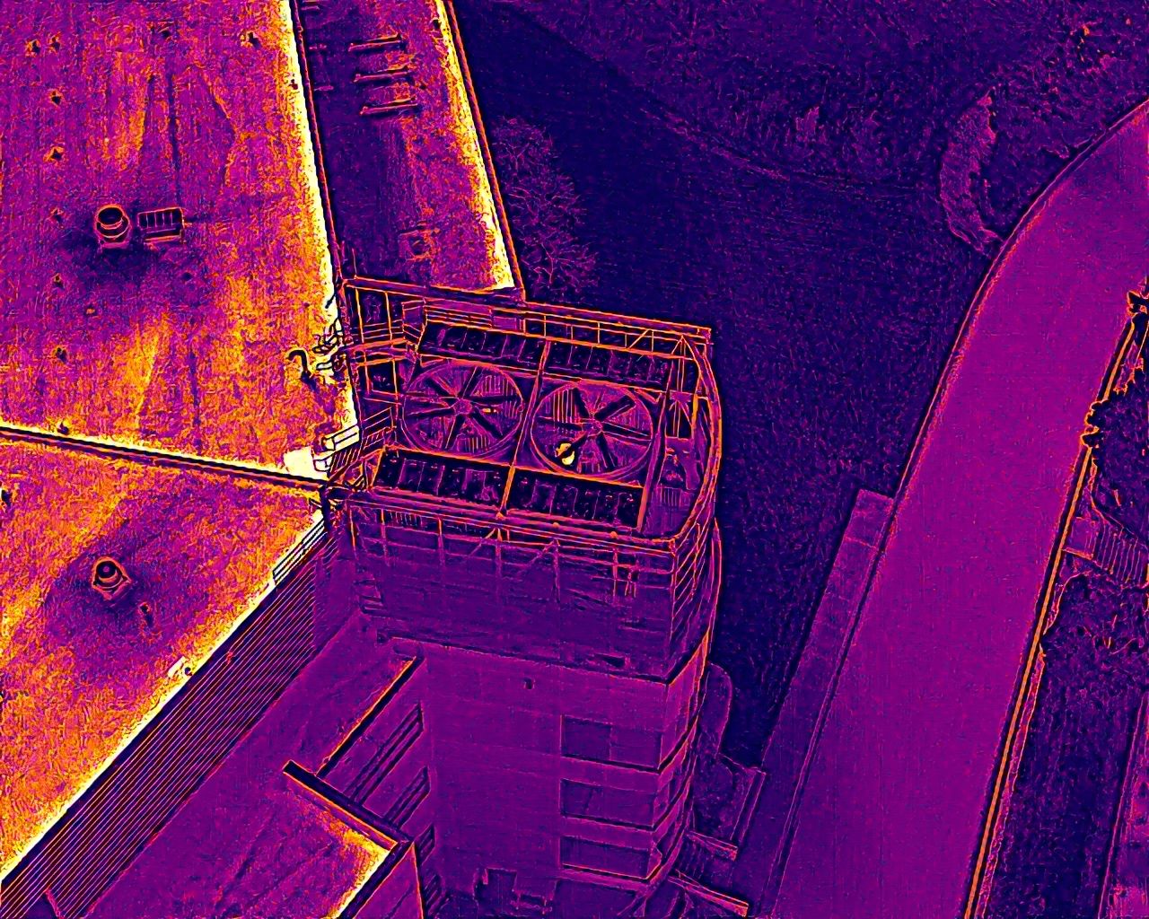
Thermal cameras show patterns of emitted infrared energy as apparent surface temperatures. Those patterns can help direct attention, compare areas and document conditions at the time of capture.
Thermal imagery alone does not prove trapped moisture, missing insulation, an electrical defect, roof failure or code noncompliance. Smithberg documents and communicates observed patterns. Diagnosis and corrective recommendations remain with the appropriate licensed or qualified professional.
Section 5: Compliance
PROFESSIONAL OPERATIONS FROM THE GROUND UP.
Smithberg is FAA Part 107 certified, commercially insured, federally registered, registered with the Minnesota Department of Transportation and licensed for commercial drone operations in Minnesota.
Every mission is reviewed for airspace, weather, site access, flight restrictions and operational risk before launch. Please contact us for more information on compliance.
START WITH THE QUESTION, NOT THE EQUIPMENT.
Send us the site, objective and intended use. We will recommend the most useful capture approach for the project.